


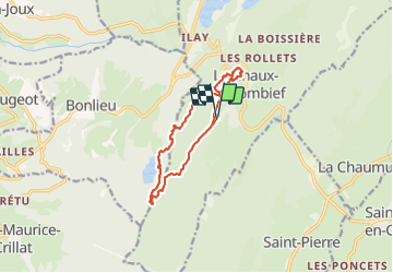

15,4 km | 20 km-effort


Gebruiker


Gratisgps-wandelapplicatie
 SityTrail
IGN / Geografische instituten
SityTrail World
De wereld gaat voor u open
Tocht Stappen van 11,2 km beschikbaar op Bourgondië-Franche-Comté, Jura, La Chaux-du-Dombief. Deze tocht wordt voorgesteld door daniellebou.
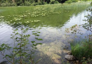
A la fin du sentier des Cairns, suivre balisage bleu et vert (ronds) et ensuite balisage vert jusqu'au lac de Bonlieu. Beaucoup de chemins dans les bois sur le terrain ne figurent pas sur la carte donc il est important de bien suivre le balisage vert jusqu'au lac de Bonlieu qu'on quitte ensuite.

Stappen

Stappen

Stappen

Stappen
Stappen

Stappen

Stappen
Stappen
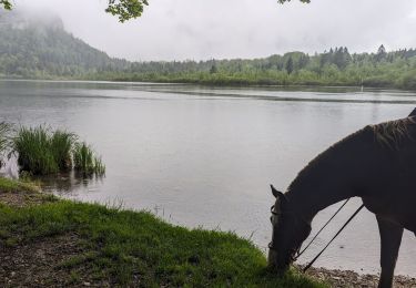
Paardrijden